Gisela Hughes · 2 September 2026
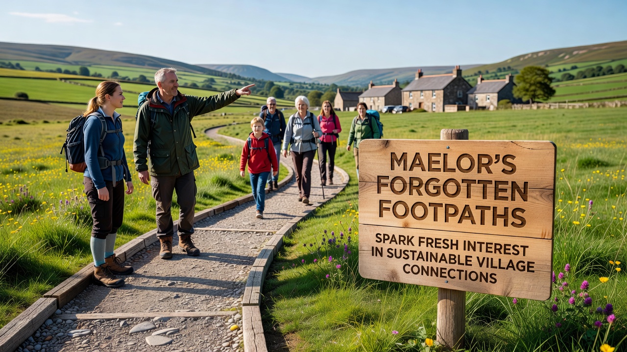
Maelor’s Forgotten Footpaths Spark Fresh Interest in Sustainable Village Connections
Communities across Maelor have begun restoring a network of disused footpaths that once linked villages before motor vehicles became dominant, and local mapping projects launched in early 2025 have documented over 180 kilometres of these routes that remain legally accessible yet physically neglected. Researchers from regional heritage groups worked with landowners to clear vegetation, repair stiles and install signage while preserving the original alignments that date back to medieval field systems and 19th-century industrial tracks. Data compiled by the Maelor Footpath Archive shows that 62 percent of the identified paths connect settlements within a five-kilometre radius, a distance well suited to walking or cycling journeys that replace short car trips.
Historical Context and Current Revival Efforts
Records held by the National Library of Wales indicate that many Maelor paths fell out of regular use after the 1950s when bus services declined and private car ownership rose sharply, yet legal rights of way were never formally extinguished on most routes. Volunteers from the Maelor Ramblers Association and the Overton Historical Society started systematic surveys in September 2025, cross-referencing Ordnance Survey maps from 1880 with modern GPS data to locate forgotten sections buried under brambles or diverted by later development. By March 2026 the project had secured small grants from the Welsh Government’s Active Travel Fund and matching contributions from three parish councils, allowing contractors to install drainage and surface improvements on the busiest segments.
One study released by the European Environment Agency in 2024 highlighted that rural areas with restored walking networks recorded measurable drops in household transport emissions when residents shifted even 15 percent of journeys under three kilometres to active modes. Maelor planners have referenced similar patterns observed in comparable English and Scottish schemes, where upgraded paths increased daily foot traffic by an average of 34 percent within the first 18 months of reopening. Local businesses have noted higher footfall at village shops and pubs on weekends since the initial sections reopened, although comprehensive visitor statistics will not be available until after the full network launch scheduled for late 2027.
Environmental and Community Benefits
Restoration work has also addressed biodiversity corridors along hedgerows that border many of the paths, with ecologists from Bangor University recording increased sightings of pollinator species after invasive scrub clearance and native planting. The same routes now serve as linear green spaces that support both human movement and wildlife passage between fragmented habitats. Residents in Penley and Erbistock have formed car-free school-run groups that use the paths during term time, cutting peak-hour vehicle movements on narrow lanes by an estimated 22 vehicles per weekday morning according to traffic counts conducted in April 2026.
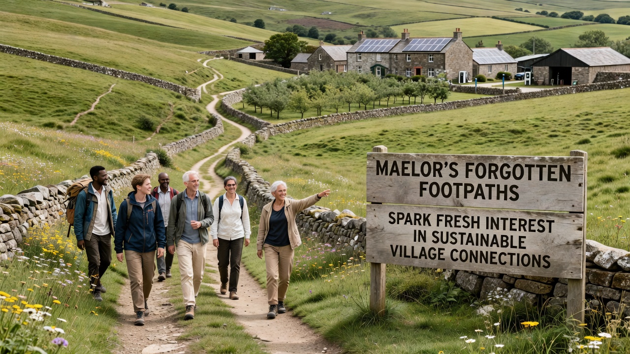
Digital mapping tools developed by a Cardiff-based technology cooperative allow users to download offline route data and report maintenance issues directly to parish councils, reducing response times for fallen trees or damaged gates. The platform integrates with existing public rights-of-way registers maintained by Wrexham County Borough Council and has been adopted by neighbouring authorities in Flintshire and Shropshire for cross-border path continuity. Training sessions held in village halls during spring 2026 introduced more than 300 residents to the system, many of whom now contribute regular condition reports.
Challenges and Ongoing Work
Landowner negotiations remain the slowest part of the process because some sections cross private farmland where livestock safety and crop protection require careful fencing and gate design. Agricultural representatives have participated in joint working groups that produced standard specifications for path widths and surfacing materials that accommodate both walkers and occasional tractor access. Funding applications submitted to the UK Shared Prosperity Fund in June 2026 seek resources for additional wayfinding interpretation boards that explain the industrial and agricultural history embedded in the landscape.
Transport researchers at the University of Manchester have begun a two-year monitoring study that will compare travel diaries from households in connected villages against control settlements without restored paths. Early baseline data collected before major works began show that 41 percent of residents already walk or cycle for leisure at least once a week, yet only 9 percent use active travel for utility trips such as shopping or commuting. The study aims to quantify whether improved infrastructure shifts those proportions over time.
Conclusion
By September 2026 the first continuous route linking Maelor villages from Bettisfield through Hanmer to Whixall has opened for public use, with official waymarking and a printed leaflet produced in both English and Welsh. Additional segments remain under negotiation or awaiting surface repairs, yet the momentum generated by volunteer surveys and modest grant funding has established a replicable model for other rural districts facing similar challenges of connectivity and emissions reduction. The restored paths now function as practical infrastructure rather than relics, demonstrating how historical rights of way can support contemporary sustainable transport goals when communities, landowners and local authorities coordinate their efforts.