Amir Friedrich · 30 September 2026
Maelor Youth Leaders Launch Initiative to Map Untold Local Histories
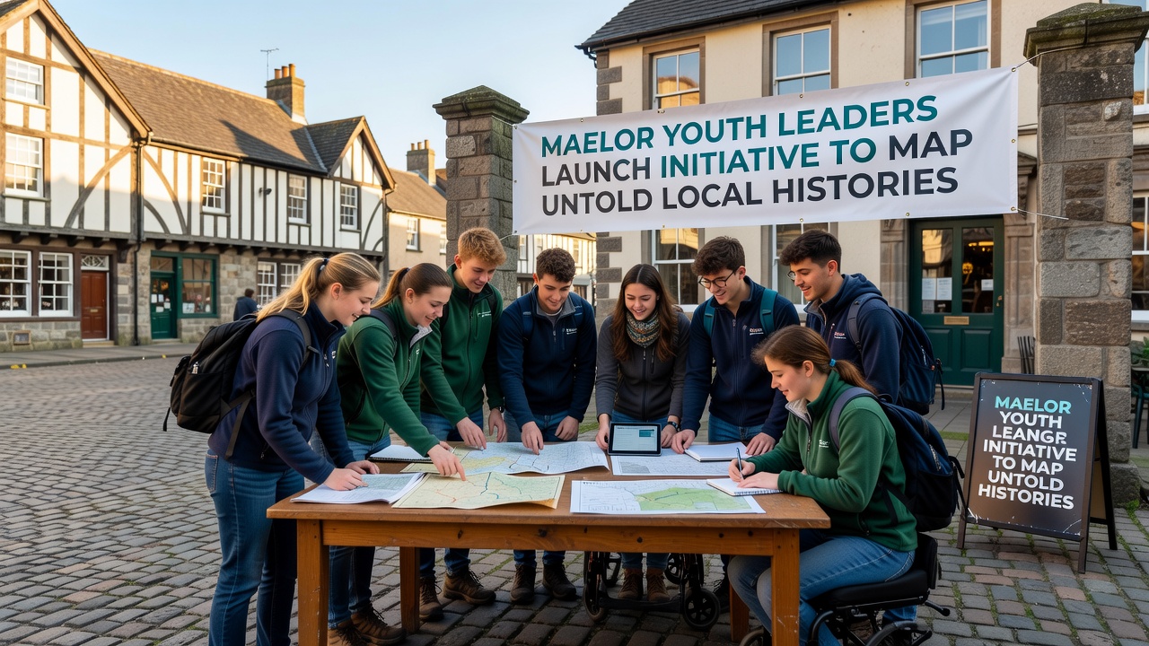
Young people across the Maelor region have started a coordinated effort to document stories and places that have remained outside standard historical records, with the formal launch scheduled for September 2026. The project brings together secondary school students, community volunteers, and local heritage groups to collect oral accounts, photographs, and site data that traditional archives have overlooked.
Project Scope and Methods
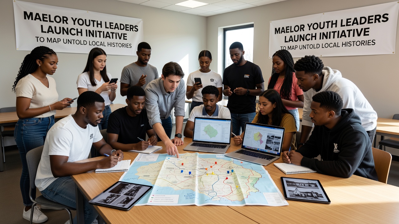
Participants plan to create an interactive digital map that layers personal testimonies with geographic information, allowing users to explore how migration patterns, industrial changes, and community events shaped specific villages and hamlets. Teams will conduct structured interviews using recording equipment supplied through regional education partnerships, then transcribe and geocode each contribution for the central platform.
Training sessions begin in early summer 2026 and cover interview techniques, ethical consent procedures, and basic GIS software operation. Organizers have arranged workshops with experienced archivists who demonstrate how to cross-reference family documents against public records without compromising privacy standards.
Community Involvement and Data Collection
Local residents are invited to contribute materials during open evenings held at village halls and libraries. One session already scheduled for late August focuses on agricultural life before mechanization, while another targets memories of cross-border trade along the former railway lines. Each event includes guidance on copyright and data protection so contributors understand how their materials will be stored and displayed.
Digital tools developed for the project allow contributors to upload photographs directly from mobile devices, with automatic metadata tagging that records date, location, and contributor details. The system then routes submissions to volunteer moderators who verify basic facts before integration into the live map.
Technical Infrastructure and Partnerships
The mapping platform runs on open-source software customized by a small group of computer science students from nearby colleges. Data hosting is provided through a university server that meets current European data protection requirements, ensuring long-term accessibility while maintaining contributor anonymity where requested. According to guidelines from the Library of Congress digital preservation division, the project incorporates checksum verification and regular backups to protect against file corruption.
Additional support comes from regional museums that supply portable scanners for fragile documents and photographs. These institutions also offer exhibition space once the first batch of mapped stories is ready for public viewing, scheduled for spring 2027.
Training and Timeline
Youth leaders aged 16 to 25 coordinate fieldwork groups, each assigned to a distinct parish. They follow a phased schedule that begins with background research using existing census returns and tithe maps, moves to fieldwork collection through September and October 2026, and concludes with data validation by January 2027. Progress meetings occur monthly so teams can share challenges and adjust methods as needed.
One group has already identified several disused chapels whose architectural details and associated community records have not appeared in published surveys. Another team is tracing the history of seasonal workers who traveled between Maelor farms and industrial sites further south, drawing on employment ledgers held in private collections.
Expected Outcomes
Once complete, the digital resource will be freely available through public libraries and school networks. Project leads expect the map to serve as a teaching aid for local history modules and as a reference for planners considering heritage impact assessments. A printed summary booklet is also planned, featuring selected stories and a QR code that links back to the online platform.
Further phases may extend the map to include audio clips and short video segments, provided funding applications to national heritage bodies succeed. Those involved note that the September 2026 launch marks the start of an ongoing process rather than a fixed endpoint, with new entries welcomed on a rolling basis.
Conclusion
The initiative demonstrates how structured youth leadership can expand the documented record of a region by focusing on personal and place-based accounts that existing publications have not yet captured. Through systematic collection, verification, and digital presentation, the project supplies a growing resource that communities, researchers, and educators can consult for years to come.